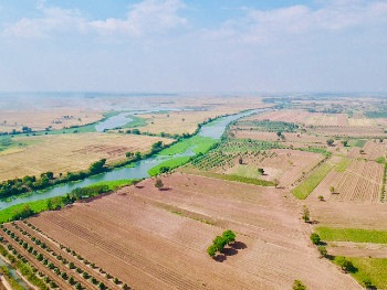
 © Preks Ag Landscape, Venot J.P., IRD
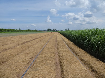
This is also the case on the floodplains of the Mekong Delta in southern Cambodia. Here, the landscape is characterised by so-called Preks. These are large-scale channels that connect the main river with the floodplains. Originally constructed during the period of the French protectorate (late 19th and early 20th century), they act as vectors of both flooding and drainage during the annual Monsoon inundation. They form a vital contribution to maintaining the fertility and agricultural productivity of the floodplains, which depends on a delicate balance of hydrological processes and management decisions, in particular irrigation. In recent years, international development agencies have been rehabilitating the Prek channels, to increase the resilience of local production systems to drivers of change.
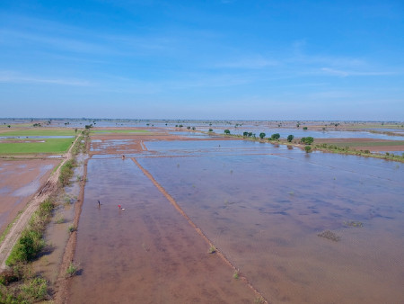 © Flood plains, C. Orieschnig, IRD
The aim of this thesis is to further the understanding of the hydrological processes on these managed floodplains – and how Prek rehabilitation, land use changes, modifications in the hydrological regime of the Mekong and its distributaries, and climate-related factors impact them. Ultimately, the goal is to establish links between these hydrological processes and the ecosystem services that the local population derives from the Prek system.
In order to do so, an eco-hydrological model is being built using the modelling platform OpenFLUID, to depict the current system and simulate future scenarios. This model is based on extensive fieldwork (including the installation of water gauges and a weather station, as well as interviews with local stakeholders), and on remote sensing analyses on inundation patterns and land use, conducted using Sentinel-1 and 2 imagery, on Google Earth Engine.
Keywords : Mekong, hydrology, numerical modelling, OpenFluid, remote sensing.